The Scientific Program
The EAIIST project proposes to study the (geo)physical, chemical and paleoclimatic dimensions of the East Antarctic Plateau by aggregating a broad spectrum of skills gathered in the same place and at the same time. The proposed research project consists of a land traverse across the plateau between Concordia (Dome C) and the South Pole. The terrain explored by the traverse can be defined by three keywords: remoteness, dryness and purity. These properties provide an exceptional opportunity to study extreme conditions at all levels of polar research, in a natural environment free of human influence.
Following preparatory work between scientists, the programme was defined around two main scientific questions.
Is East Antarctica gaining or losing water mass?
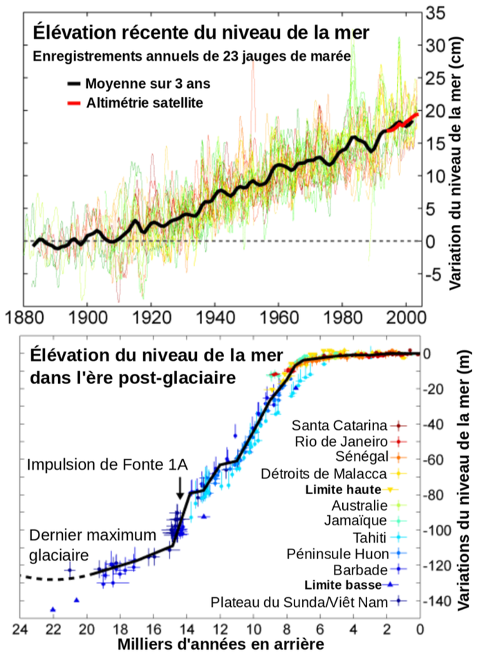
A simple question, a difficult answer and yet answering this question is fundamental to predicting how fast sea level rise will occur. Any water stored on a continent lowers sea levels. On the other hand, any continental water discharge raises sea levels. However, in a warmer climate, the atmosphere contains more moisture and precipitation is expected to be more abundant. If East Antarctica receives more precipitation then it could act as a brake on this rise by partially compensating for coastal melting. But to date we do not know what role East Antarctica plays, whether it is gaining or losing mass.
What are the properties and the consequences of the extreme aridity of East Antarctica?
This hyperaridity leads to the formation of unique structures on Earth such as mega-dunes (also found on Mars!) or glazed surfaces. The first are surface undulations on a scale of several km and spread over thousands of km2 created by sustained winds in conditions of low snowfall. The latter are almost icy surfaces where there is no or even negative snow accumulation. Understanding the age of these structures, their formation mechanism and how they record climate parameters is essential to interpret the information contained in ice cores. This hyperaridity is certainly the conditions that prevailed during the Ice Age, where large deep boreholes are drilled, reconstructing several hundred thousand years of climate history.
To answer these questions
A coordinated program of field observations, remote sensing, laboratory measurements, data synthesis and integration was established through meetings between scientists. During the traverse, mobile and fixed experiments will be carried out to couple spatial and temporal studies. The traverse will allow the deployment of autonomous instruments operating year-round using autonomous energy sources (batteries, solar panels, wind turbines) to extend the surveys and access a complete seasonal record of the physical, glaciological and geophysical parameters of the sites visited.
Seismologists will find the quietest place on Earth, thousands of kilometres from any human presence. They will determine the internal structure of the ice, the density of the snow and ice, the profile of the rocky bed and record the sound of oceanic and atmospheric waves.
Chemists will sample the purest snow and atmosphere, revealing the "real" background noise chemistry away from polar station activities but also differences and similarities with other regions of Antarctica. They will establish the ability of these hyperarid regions to record climate information in ice.
Physicists will study the world's largest surface structures, sculpted by wind and extreme accumulation regime. They will improve our understanding of the physical processes that affect snow metamorphosis by performing accurate glaciological and optical measurements. They will link ground data with satellite data to improve our knowledge of mass balance in insufficiently documented regions. Together, scientists will characterize this environment as the only one analogous to the ice age of the Antarctic plateau.
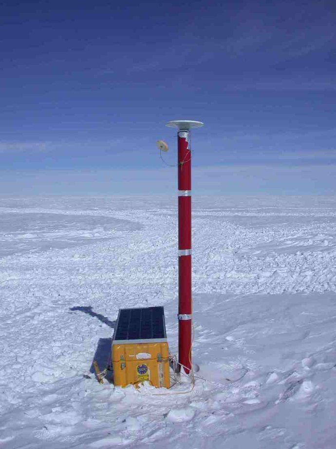
GPS positioning beacon
They are used to measure the precise attitude of the ground and to determine the speed and direction of ice flow. These data are used to compare with satellite observations.
Surface drilling 50 to 100 m
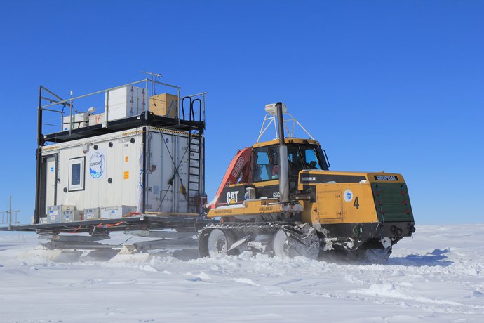
Ice core drilling in the cold mobile laboratory CLIMCOR. The possibility of drilling inside a fitted container makes it possible to avoid weather conditions which on the Antarctic continent can be extreme (wind, cold, visibility, sun). On the other hand, ice drillers are small and only allow ice to be drilled to a depth of a few tens of meters. On the arid lands of Antarctica, it is still a thousand years of climate history.

Surface drilling 200 to 300 m
Another heavier ice drilling system that requires outdoor deployment and an experienced operator. This type of corer allows the drilling of 200 to 300 m of maximum ice. Beyond that, ice pressure tends to close the borehole. It is then necessary to completely change the device and drill with a fluid to compensate for the ice pressure.

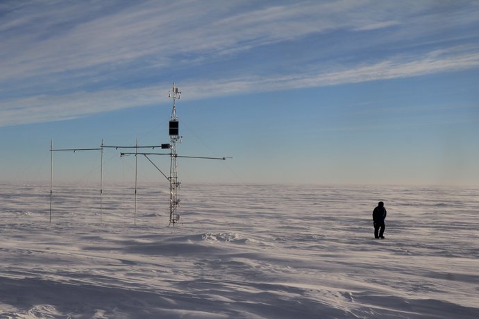
Automatic weather stations
These stations record the main weather parameters (pressure, temperature, wind speed and direction). Antarctic weather is very difficult to predict due to the lack of a dense ground weather station network that allows weather models to adjust to observations. However, Antarctic weather conditions part of the weather in the southern hemisphere and therefore of the world weather. In Antarctica, these stations are energy autonomous, operate mainly on solar energy and transmit their data in real time.
Radar profiles
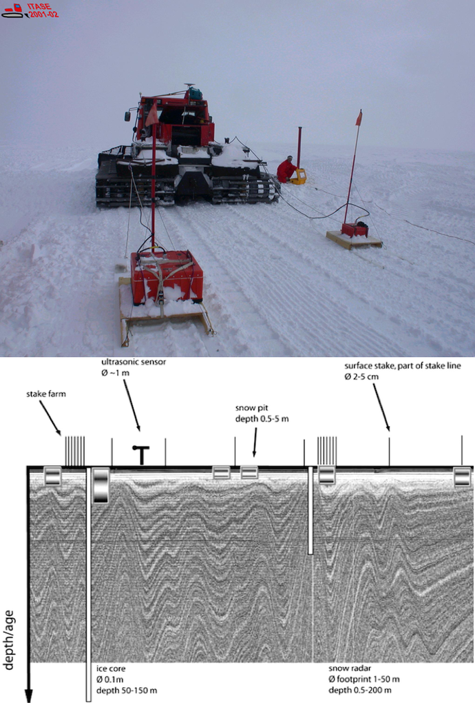
Surface radars are used to probe in depth the stacking of snow layers. Depending on the power and frequency of the radar, the wave penetrates more or less deeply. To know the accumulation of snow over the last millennia, a penetration of about a hundred meters is sufficient in Antarctica. The photo shows the wave source and its receiver which receives the echoes after reflection of the wave on the snow layers. Below is a radar image of a coastal site after data processing where disturbances induced by a rugged bedrock are clearly visible.
Seismic stations
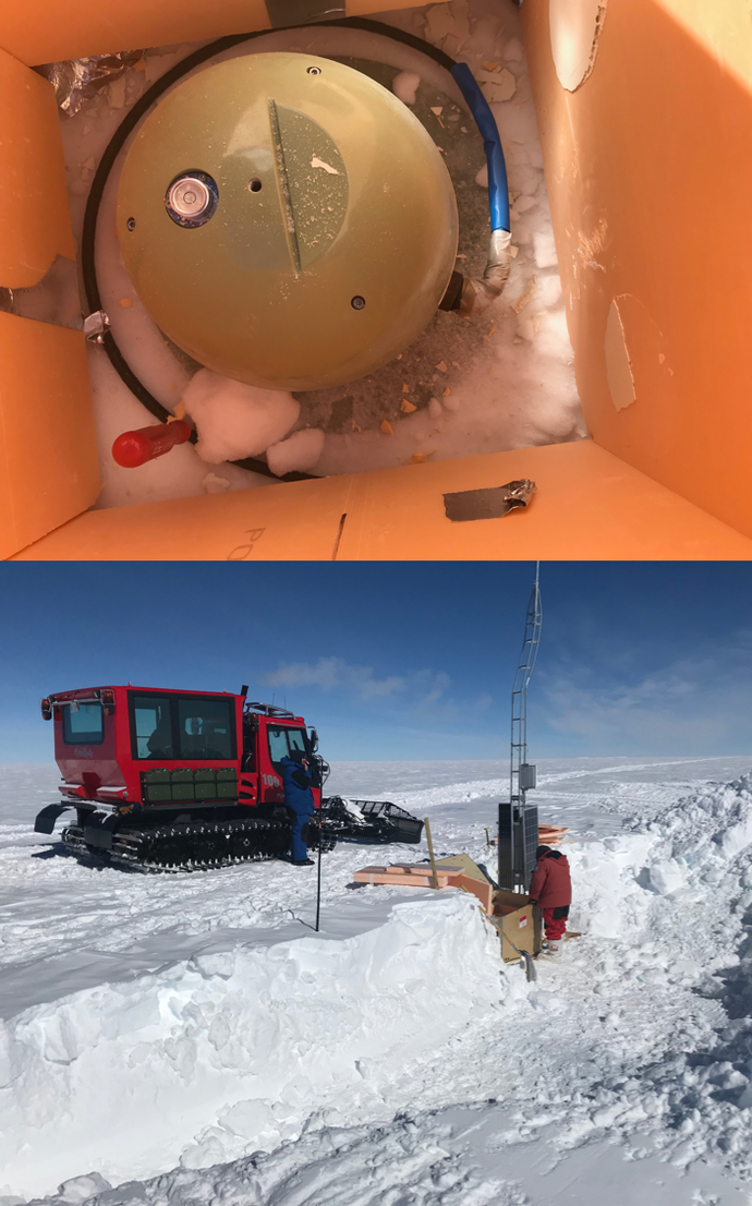
They will be deposited throughout the journey and will measure the vibrations of the polar cap. From this seismic noise and distant earthquakes, it will be possible to deduce the total ice thickness and monitor the behavior of the polar ice cap. The seismic stations will remain a full year in total autonomy and will be recovered the following year by airplane.
Snow sampling
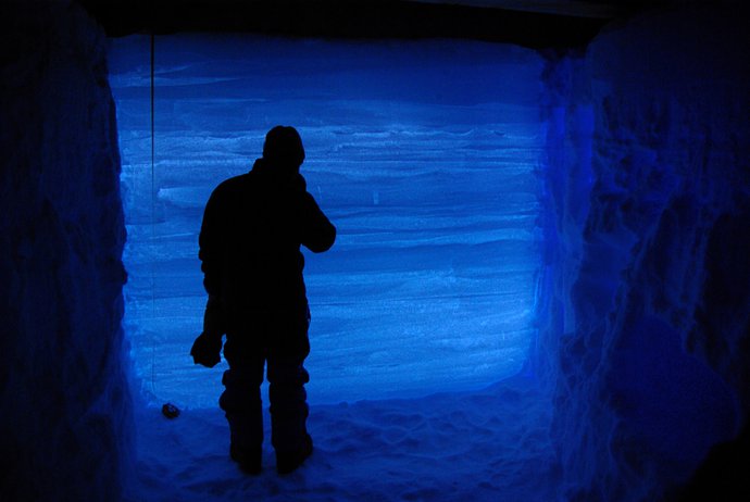
Snow pits will allow samples to be taken with great precision. Unlike ice cores, we are not limited by the amount of snow that can be collected. These finely sampled snow profiles reveal deposition variations over successive seasons but on a time scale of at most a few years.
